
If trying to hunt in your state is similar to Arizona, then getting drawn for a Big Game Hunting Tag ranks right up there with winning the lottery! With tags usually being few and far between, you want to make the most of your hunt. The single most important thing you can do to increase your chances of success is pre-hunt scouting.
The more scouting you can do, the better. But, you need to ensure that your scouting techniques produce effective results. One of the best methods I have found in improving my scouting trips is the use of a hand-held GPS unit. A hand-held GPS unit is a valuable tool to have in your arsenal, even if it is just a basic unit.
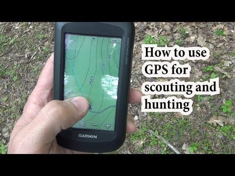
Prior to your first scouting trip, it is essential that you learn how to properly use the functions of your GPS. On a basic level, you should learn how to enter waypoints. Waypoints are a set of longitude and latitude coordinates that identify a specific point, such as where your truck is parked! Waypoints are entered and then displayed on the GPS. Knowing the basics will make inputting information fast and easy while you are out in the field.
Now that you know how your GPS works, it is time to get into the woods. Along with your typical scouting gear, you should include a small notepad and pencil, a good map, and some extra batteries for the GPS.
I typically spend the first scouting trip familiarizing myself with the area back roads. I have the GPS on while driving through the area, which will display tracks for my travels. I mark waypoints for the forest service road numbers I come across. This allows me to pinpoint specific areas for future scouting trips. If I come across easily accessible water holes, those points are entered into the GPS with a small description entered into my notepad. This first scouting trip gives me a basic lay of the land and potential areas to investigate on foot.
At home after my first trip, I input the GPS waypoints to a Google Earth map. This gives me a very good aerial view of the unit, as well as a basic layout of the terrain. With Google Earth, I can find out of the way water holes, canyons, ridges, saddles, open fields and other points of interest. Google Earth will display longitude and latitude coordinates of these points, which I enter into the GPS. Using this information while hiking through the field on future scouting trips allows me to pinpoint the specific areas found on Google Earth. I also enter waypoints of interest found while out hiking, including feeding areas, bedding areas, game trails, animals I come across, sources of water, and potential camping spots for my upcoming hunt.
Having all of this information in the GPS is a great help in pinpointing the areas again during the actual hunt. I make sure and have several different areas logged into the GPS, you never know when that prime area you want to hunt is overrun with other hunters. You will also have several camping waypoints entered as backups. And a final advantage of having a GPS with you, getting back to your truck in the dark. You did remember to enter a waypoint when you parked, didn’t you!!

Leave a Reply