Pinpoint Any Location with Latitude & Longitude – Perfect for Hiking, Camping & More!

GPS coordinates are essential for outdoor adventures, emergency situations, and precise navigation.
Whether you’re hiking, geocaching, or marking a campsite, knowing how to find exact latitude and longitude on Google Maps is a game-changer.
While dedicated GPS devices have their place in serious expeditions, Google Maps offers a powerful, accessible solution that’s already in your pocket.
This latest comprehensive guide will show you exactly how to find, understand, and use GPS coordinates with Google Maps, empowering your next outdoor adventure with pinpoint accuracy.
Understanding the Basics: What Are GPS Coordinates?
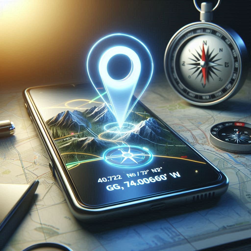
GPS coordinates are essentially the address system for our entire planet. Instead of street names and numbers, this universal system uses two numbers—latitude and longitude—to identify any location on Earth with remarkable precision.
Think of it like a giant grid wrapped around the globe!
Latitude lines run horizontally, measuring north-south position from the equator (0°) to the poles (90°).
Longitude lines run vertically, measuring east-west position from the Prime Meridian (0°) in Greenwich, London.
Together, these two numbers create a unique “address” for any point on Earth, accurate to within a few meters.
For example, the coordinates 40.7128° N, 74.0060° W pinpoint New York City’s precise location.
For a deeper understanding of how the GPS system works, the Global Positioning System website offers comprehensive information about this remarkable technology.
Why Outdoor Enthusiasts Need GPS Coordinates
For those who venture beyond the beaten path, GPS coordinates offer several key advantages:
- Precise Navigation: Mark specific trailheads, campsites, or viewpoints that don’t appear on standard maps
- Emergency Preparedness: Provide exact locations to rescue services if help is needed
- Sharing Discoveries: Exchange exact locations of hidden gems with fellow adventurers
- Photography Planning: Return to the exact spot where you captured that perfect sunset
- Geocaching: Participate in the popular outdoor treasure hunting activity
- Trip Documentation: Record your journey with precision for future reference
Step-by-Step: Finding GPS Coordinates on Google Maps
Let’s dive into the practical methods for extracting GPS coordinates using Google Maps across different devices.
Method 1: Right-Clicking on Desktop (Web Browser)
This is the quickest method when planning your adventure on a computer:
- Open Google Maps in your web browser
- Navigate to your desired location by scrolling and zooming
- Right-click directly on the specific point of interest
- A small pop-up menu will appear with the coordinates displayed at the top
- Click on these coordinates to automatically copy them to your clipboard
- Paste them wherever needed—in a note, message, or another app

Method 2: Tap & Hold on Mobile (Android & iOS)
Perfect for when you’re already in the field:
- Open the Google Maps app on your smartphone
- Navigate to your desired location
- Press and hold your finger on the exact spot until a red pin drops
- Swipe up on the information card that appears at the bottom
- Scroll down to find the decimal coordinates (e.g., 37.7749, -122.4194)
- Tap on the coordinates to copy them to your clipboard

Method 3: Using an Existing Location or Address
If you already know the name of your destination:
- Search for the location by name or address in Google Maps
- Once the location appears on the map with its pin, either:
- On desktop: Right-click on the pin and select the coordinates
- On mobile: Tap the pin, swipe up on the information card, and find the coordinates
Method 4: Checking Coordinates of Your Current Location
When you want to mark where you currently are:
- Open Google Maps and ensure location services are enabled
- On mobile, tap the blue dot representing your location
- The information card will show your current coordinates
- On desktop, right-click your blue dot location and select the coordinates
Understanding Coordinate Formats
GPS coordinates come in different formats, which can sometimes cause confusion:
Decimal Degrees (DD)
This is the most common format used by Google Maps and many digital applications:
37.7749° N, 122.4194° Wor simply:
37.7749, -122.4194The format uses decimal fractions of degrees. Positive latitude values indicate North, negative indicate South. Positive longitude values indicate East, negative indicate West.
Degrees, Minutes, Seconds (DMS)
This traditional format breaks each degree into 60 minutes, and each minute into 60 seconds:
37° 46' 29.64" N, 122° 25' 9.84" WWhile Google Maps primarily displays decimal degrees, understanding both formats is helpful when sharing coordinates across different platforms or with various navigation tools.

Practical Applications: Using Your GPS Coordinates
Now that you’ve mastered finding coordinates, here’s how to put them to work:
Navigation and Route Planning
- Enter coordinates into dedicated GPS devices for wilderness navigation
- Create custom maps with multiple waypoints for complex expeditions
- Calculate distances between points for trip planning
Location Sharing
- Send precise meeting points to friends without relying on landmarks
- Mark and share discoveries like fishing spots, climbing routes, or wildlife sightings
- Provide exact locations to emergency services if needed
Photography and Documentation
- Record the exact location of wildlife sightings or plant species
- Return to the perfect spot for seasonal photography
- Geotag images with precise location data
Pro Tips for GPS Accuracy
For the best results when working with GPS coordinates:
- Zoom in closely before dropping a pin for maximum precision
- Double-check your coordinates before heading out, especially for remote locations
- Save coordinates in multiple formats if sharing with others who might use different systems
- Remember that GPS accuracy can vary based on satellite coverage and environmental factors
- Download offline maps in the Google Maps app before venturing into areas with poor connectivity

Beyond Google Maps: Advanced GPS Tools
While Google Maps provides an excellent starting point for GPS navigation, dedicated enthusiasts might consider additional tools:
- Dedicated GPS devices offer enhanced durability and battery life for serious expeditions
- Specialized outdoor navigation apps provide topographic maps and additional features
- Smartphone GPS antennas can boost accuracy in challenging environments
For those interested in dedicated navigation equipment, specialized GPS devices and accessories are worth exploring.
The World at Your Fingertips
Mastering GPS coordinates with Google Maps transforms how you interact with the outdoors.
This simple yet powerful skill puts precise navigation in your pocket, enhancing safety, discovery, and adventure planning.
Whether you’re marking that perfect camping spot for future trips, sharing an incredible viewpoint with friends, or simply satisfying your curiosity about exact locations, Google Maps’ GPS functionality is an invaluable tool for modern outdoor enthusiasts.
As technology continues to evolve, understanding these digital breadcrumbs gives you a fundamental skill that bridges the gap between our digital tools and the natural world we explore.
Your Turn
Have you used GPS coordinates for an outdoor adventure? Do you have questions about navigating with Google Maps?
Share your experiences or ask questions in the comments below!
For more outdoor technology guides and reviews, bookmark Outdoor Tech Lab and join our community of tech-savvy adventurers!
Read more on GPS technology

- [COMMERCIAL GPS TRACKER] The LandAirSea Overdrive GPS tracker provides accurate global location, real-time alerts, and g…
- [TRACK MOVEMENTS IN REAL-TIME] Track and map (with Google Maps) in real-time on web-based software or our SilverCloud Ap…
- [EXTENDED BATTERY LIFE] The larger 4240 mAh battery lasts 3-4 times longer than the LandAirSea 54. Plus the motion-activ…

Leave a Reply